 | |
|
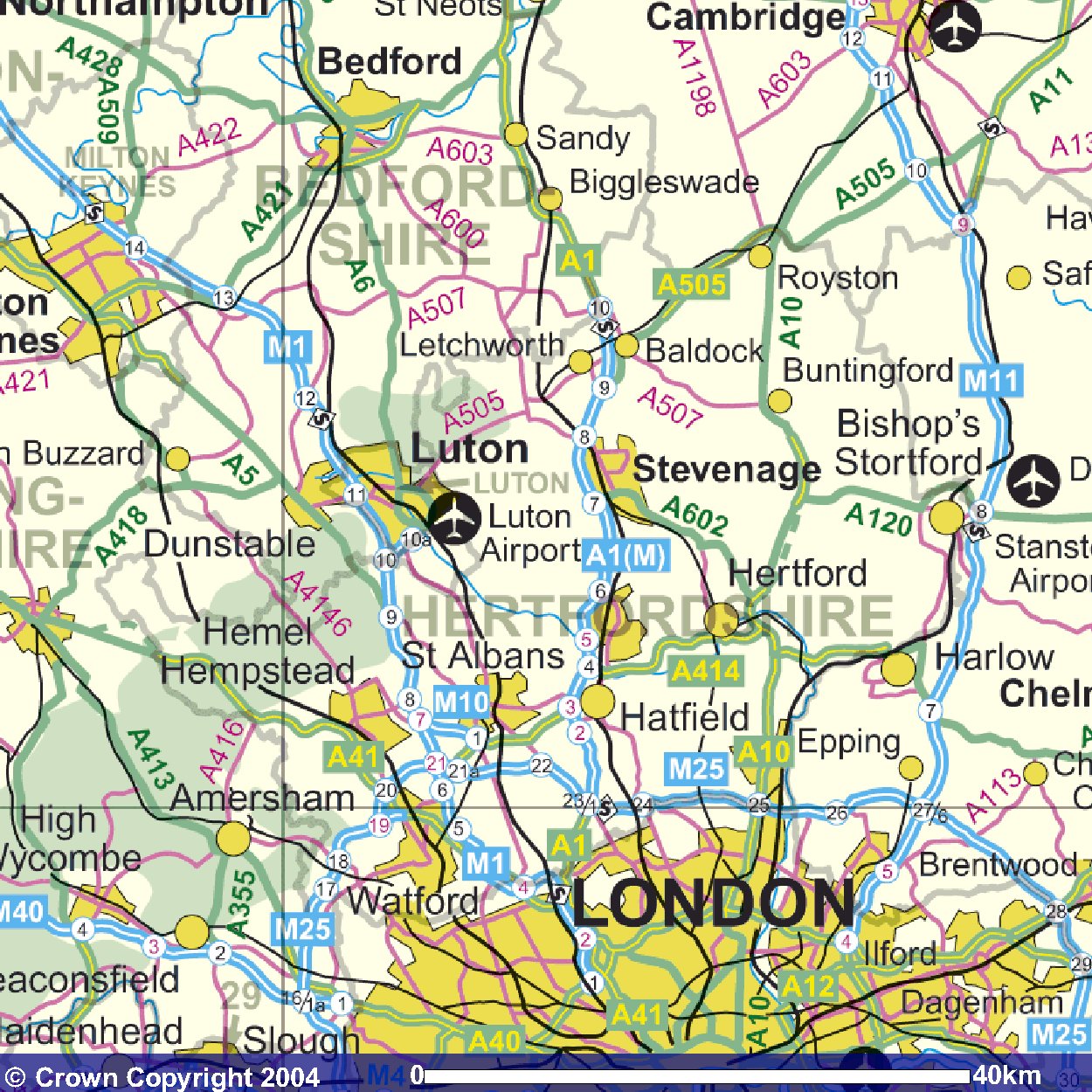
KIMPTON IS APPROXIMATELY JUST BELOW THE "P" OF AIRPORT click here for larger scale and aerial view (hover mouse over photograph to see map!) and here for street map and aerial view (hover mouse over photograph to see map!)
www.ordnancesurvey.co.uk/getamap | |